Share
The Battle
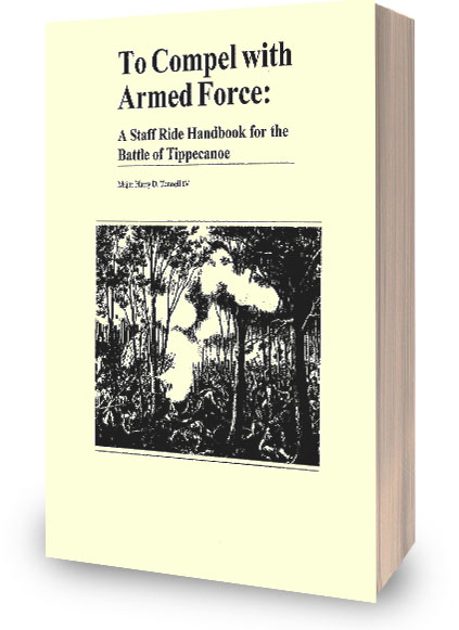
The Battle of Tippecanoe occurred when an American army fought a Shawnee-led Indian confederacy. The battle began with a limited visibility surprise attack by Indian forces during the early morning hours (~4:00 AM) on November 7, 1811. Read To Compel With Armed Force to learn more.
Tippecanoe Battle Analysis Poster
$0.00
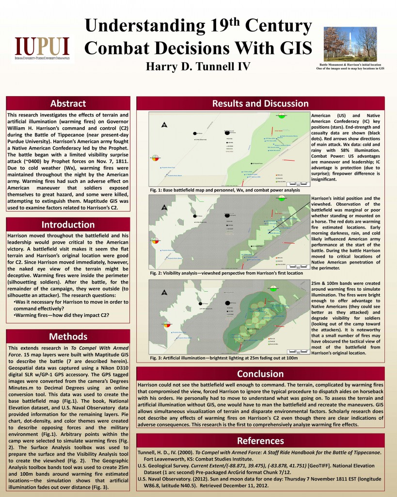
This poster describes research, using a Geographic Information System (GIS), to investigate the adverse impact of artificial illumination and terrain on General William H. Harrison’s ability to command during the Battle of Tippecanoe. It was the 3rd place award winning poster at the IndianaMap 2013 poster competition.
The research demonstrates a novel use of GIS technology to explore a historic event. Performing a similar investigation by conventional means would be expensive and could result in damage to the battlefield, which is a historically significant national historic landmark.


Reviews
There are no reviews yet.